Research Overview


The St. Louis Wildlife Project aims to address a variety of questions surrounding urban ecology and biodiversity in the St. Louis metro area, including how the dynamics, abundance, and distribution of urban wildlife are affected by the urban system. Data are collected using motion-activated camera traps and autonomous recording units along an urban-to-rural gradient, made possible with the cooperation of numerous city, county, state, and national parks, as well as private lands. Our research contributes to the understanding of urban ecology in St. Louis, and helps inform a global view of wildlife in rapidly growing urban landscapes.
methods
The Henry Shaw Ozark Corridor transect, which includes 34 camera traps and ARUs.
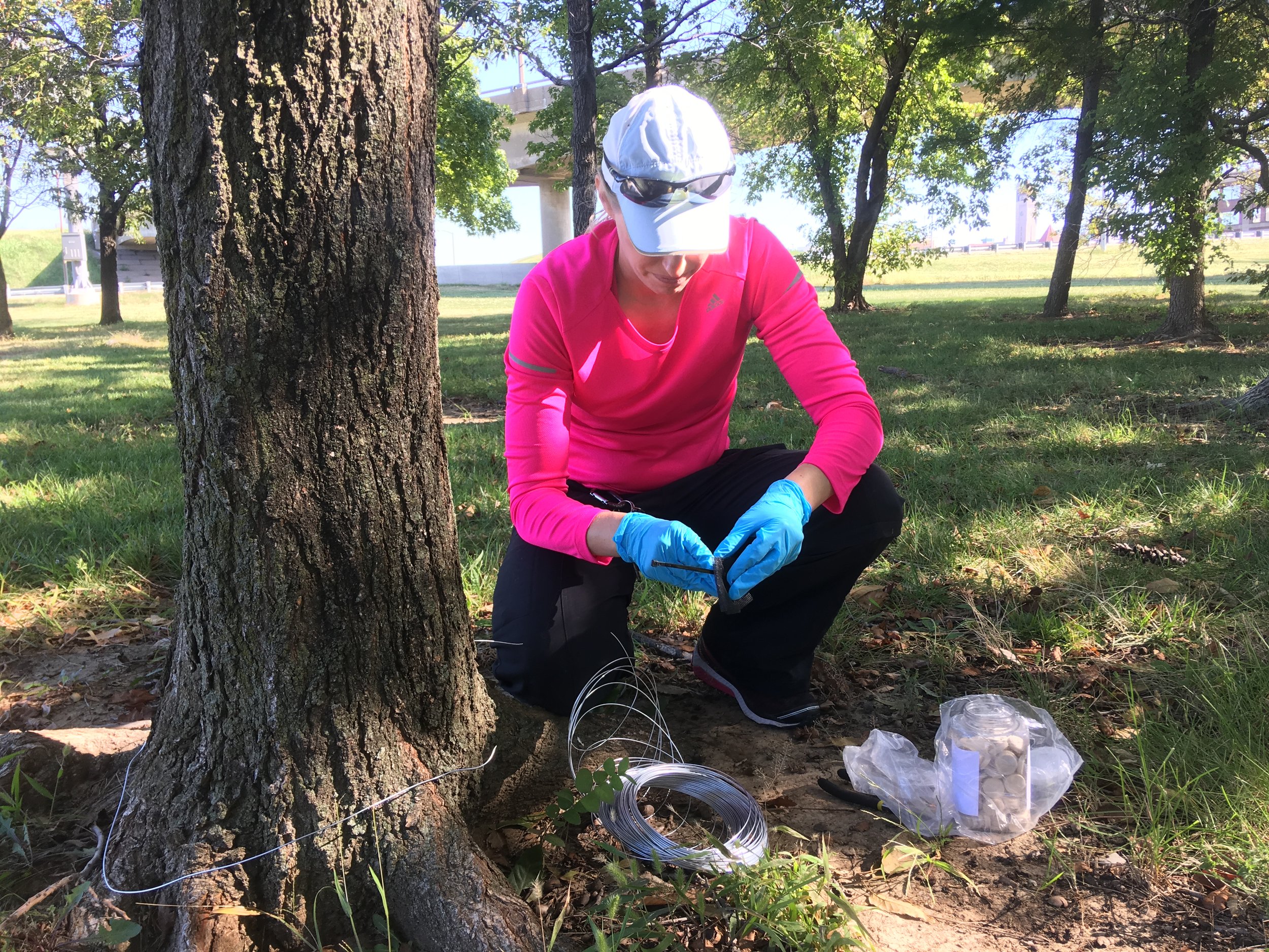
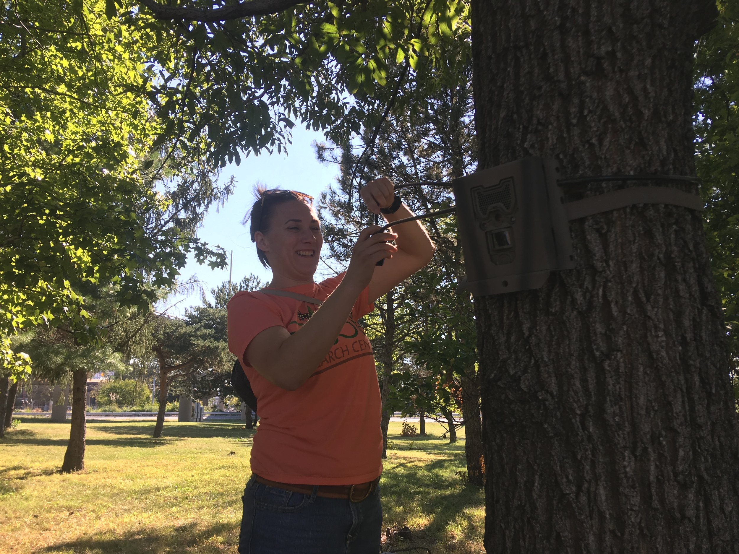
Our research methods were designed in accordance with the UWIN methodological guidelines, allowing for data comparison and analysis not only within St. Louis, but between St. Louis and other partner cities. 34 camera traps are set up along transects following an urban-to-rural gradient. Our first transect, the Henry Shaw Ozark corridor transect, extends from the Gateway Arch Park to Route 66 State Park. Camera traps and autonomous recording units (ARUs) are set within 2 km of the transect and at least 1 km apart from each other. 4 rounds of sampling are conducted each year, with data collected for 4 weeks each season. Camera trap photos and acoustic recordings are analyzed and verified, and data is entered into the shared cloud-based database.
This study design offers the potential to investigate additional research questions. Get in touch here if you are interested in collaborating with us.
Posters and Publications


Anthonysamy, W. J., Biro, E. G., Adalsteinsson, S. A., Fidino, M., Moylan, M. A., Zahrai, L. M. (2025) Urban intensity predicts eastern gray squirrel (Sciurus carolinensis) and fox squirrel (Sciurus niger) occupancy and detection in St. Louis green spaces. Journal of Urban Ecology. View.
Fidino, M., Sander, H., Lewis, J., Lehrer, E. W., Rivera, K., Murray, M. H., Adams, H. C., Kase, A., Flores, A., Stankowich, T., Schell, C. J., Salsbury, C. M., Rohnke, A. T., Jordan, M. J., Green, A. M., Gramza, A. R., Zellmer, A. J., Williamson, J., Surasinghe, T. D., Storm, H., Sparks, K. L., Ryan, T. J., Remine, K., Pendergast, M. E., Mullen, K., Minier, D. E., Middaugh, C. R., Mertl, A. L., McClung, M. R., Long, R. A., Larson, R. N., Kohl, M. T., Harris, L. R., Hall, C. T., Haight, J. D., Drake, D., Davidge, A. M., Cheek, A. O., Bloch, C. P., Biro, E. G., Anthonysamy, W. J., Angstmann, J. L., Allen, M. L., Adalsteinsson, S. A., Short-Gianotta, A., LaMontagne, J. M., Gelmi-Candusso, T. A., and Magle, S. (2024). Gentrification drives patterns of alpha and beta diversity in cities. PNAS. View.
Jeffrey D. Haight, Sharon J. Hall, Mason Fidino, Solny A. Adalsteinsson, Adam A. Ahlers, Julia Angstmann, Whitney J. B. Anthonysamy, Elizabeth Biro, Merri K. Collins, Barbara Dugelby, Travis Gallo, Austin M. Green, Laura Hartley, Mark J. Jordan, Cria A. M. Kay, Elizabeth W. Lehrer, Robert A. Long, Brandon MacDougall, Seth B. Magle, Darren E. Minier, Chris Mowry, Maureen Murray, Kristina Nininger, Mary E. Pendergast, Katie R. Remine, Travis Ryan, Carmen Salsbury, Christopher J. Schell, Çagan H. Șekercioğlu, Catherine J. Shier, Kelly C. Simon, Colleen C. St. Clair, Theodore Stankowich, Cassondra J. Stevenson, Lisa Wayne, Dave Will, Jacque Williamson, Larry Wilson, Amanda J. Zellmer & Jesse S. Lewis. (2023). Urbanization, climate and species traits shape mammal communities from local to continental scales. Nature and Ecology. View.
Magle, S., Fidino, M., Sander, H., Rohnke, A. T., Larson, K. L., Gallo, T., Kay, C. A. M., Lehrer, E. W., Murray, M. H., Adalsteinsson, S. A., Ahlers, A. A., Anthonysamy, W. J. B., Gramza, A. R., Green, A. M., Jordan, M. J., Lewis, J., Long, R. A., MacDougall, B., Pendergast, M. E., Remine, K., Simon, K. C., Cassady St. Clair, C., Shier, C. J., Stankowich, T., , Stevenson, C. J., Zellmer, A. J., and Schell, C. J. (2021). Wealth and urbanization shape medium and large mammalian communities. Global Change Biology. View.